
Prepare Your Offline Maps Before Leaving Home
A route saved in an app is not the same as a complete map available without a connection.
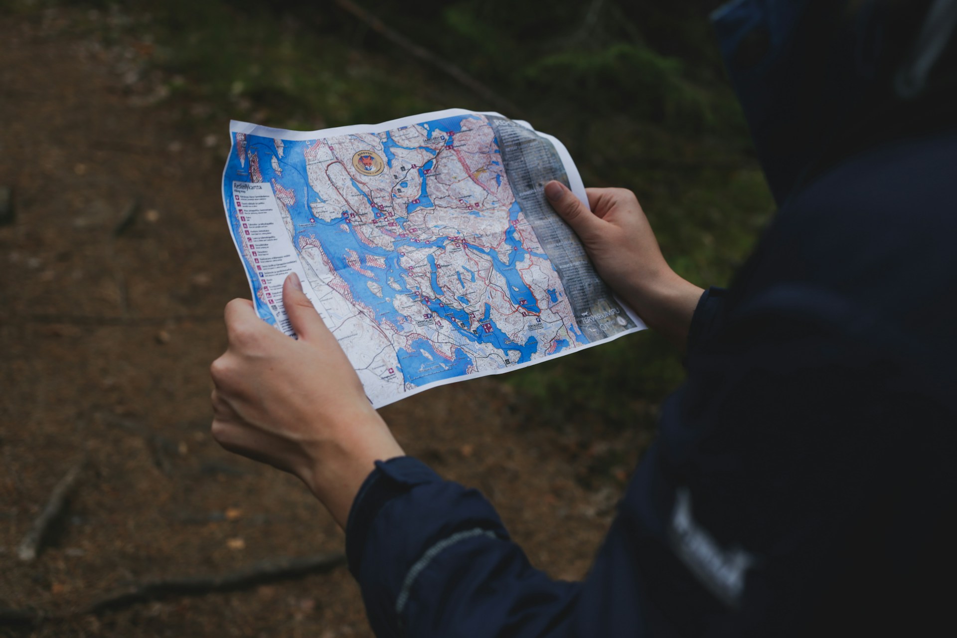
Download the map, not just the route
CalTopo distinguishes saved map objects—such as lines and markers—from the base layers and overlays beneath them. For offline use, download the geographic area and layers you need. Recently viewed tiles can be cached temporarily and may disappear when you change zoom or move elsewhere on the map. CalTopo’s mobile offline features require a paid subscription; check the provider’s current plan details.[1]
Cover more than the intended line
Include the approach, the route, likely alternatives, and surrounding terrain. Check that the download has completed and that your important layers work offline. Save useful route notes separately. A screenshot can be a reference, but it cannot replace a navigable map of an area you may need to move through.
Choose tools you understand
UAC’s app directory includes CalTopo, onX Backcountry, Gaia GPS, and the Wasatch Backcountry Skiing Map. Compare tools for the tasks you actually need: planning, viewing terrain, locating yourself, or communicating place names. Features and offline access differ. Learn one tool well before depending on it away from service.[2]
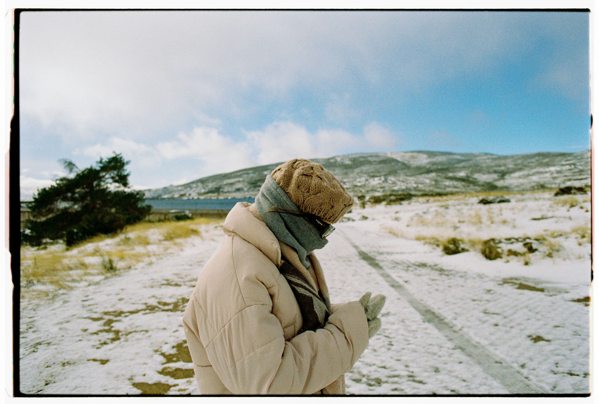
Carry a backup and protect power
A phone can fail or lose power. Carry a physical map and compass and the skill to use them. Keep electronics protected from cold and bring an appropriate power reserve. Maintain separation from an avalanche transceiver according to its manufacturer’s instructions; warming a phone is not a reason to place it against the transceiver.[3][4]
Keep the map in its role
A digital line does not establish current access, snow stability, or a safe route. Check closures and forecasts separately. Snow may conceal the summer trail, and other tracks can lead somewhere you did not intend. Stop and reassess when the terrain no longer matches your plan rather than following the screen into increasing uncertainty.[3]
Plan your next step
Build the skills. Keep learning.
Use these resources alongside hands-on training, current conditions, and sound decisions in the field.